| 1 |
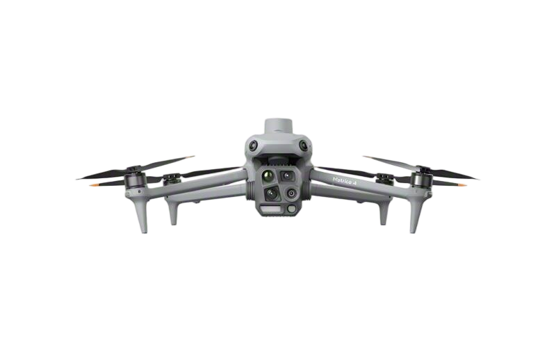
Enterprise Multirotor Profile |
Surveying, inspection and public safety |
RTK/PPK positioning, interchangeable payloads, obstacle sensing, stabilized imaging, edge-based object recognition and encrypted command links. |
Approximately 35–55 minutes of flight time; centimeter-level positioning is achievable with RTK workflows under suitable conditions. |
Multi-sensor GNSS, inertial navigation, visual positioning and automated return-to-home functions. |
Power-line inspection, construction mapping, emergency response and infrastructure documentation. |
| 2 |
Precision Agriculture Profile |
Crop spraying and granular spreading |
Variable-rate application, terrain-following radar, flow-rate monitoring, route planning, quick-change tanks and automated field boundary management. |
Common spray-tank capacities range from approximately 20–40 liters; payload and operating time vary with liquid density and terrain. |
RTK-assisted flight, low-altitude radar sensing and automatic altitude adjustment over uneven crops. |
Pesticide application, fertilizer spreading, crop monitoring and orchard operations. |
| 3 |
Heavy-Lift Multirotor Profile |
Industrial logistics and emergency payload delivery |
Redundant propulsion, high-current power systems, coaxial or multi-arm configurations, load monitoring and precision winch or cargo-release mechanisms. |
Professional platforms commonly support payloads of approximately 20–50 kilograms, subject to local aviation rules and environmental conditions. |
Dual GNSS, inertial redundancy, wind estimation and automated load-stability control. |
Mountain logistics, firefighting support, rescue supplies and remote-site transportation. |
| 4 |
VTOL Mapping Profile |
Large-area surveying and cartography |
Vertical-takeoff transition systems, fixed-wing cruise aerodynamics, high-resolution photogrammetry, multispectral sensing and automatic survey planning. |
Typical endurance ranges from approximately 60–120 minutes, depending on aircraft configuration, payload and weather. |
RTK/PPK georeferencing, waypoint navigation, terrain-aware planning and automatic transition control. |
Mining, rail corridors, forestry, land administration and environmental surveys. |
| 5 |
Autonomous Delivery Profile |
Medical, commercial and site-to-site delivery |
Automated loading and unloading, route optimization, geofencing, detect-and-avoid sensors, redundant communications and fleet dispatch software. |
Payload capacities commonly range from approximately 5–30 kilograms for specialized delivery aircraft. |
GNSS/INS navigation, cellular or private-network connectivity, obstacle detection and contingency-route logic. |
Medical supplies, industrial parts, food logistics and isolated-site resupply. |
| 6 |
Tethered Inspection Profile |
Persistent observation and communications |
Ground-powered tether systems, continuous high-definition video, stabilized optical and thermal payloads, automatic cable management and electromagnetic compatibility controls. |
Operating altitude is commonly in the approximate range of 50–150 meters, with endurance primarily limited by ground power and operating procedures. |
Tether-based data and power transmission, GNSS-assisted station keeping and automatic cable-tension management. |
Event security, disaster monitoring, border observation and temporary communication coverage. |
| 7 |
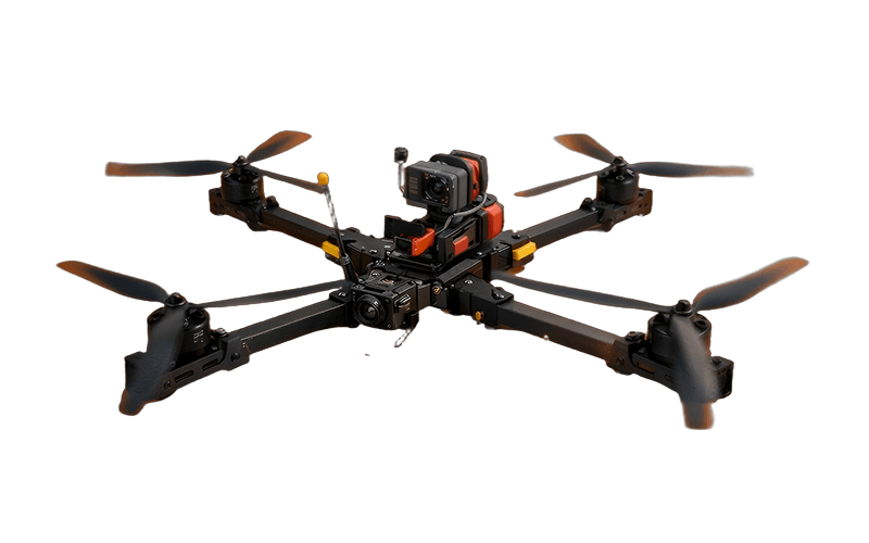
Industrial FPV Profile |
Close-range inspection and confined spaces |
Low-latency digital video, protective frames, high-power propulsion, wide-angle cameras, collision-tolerant structures and manual-plus-assisted flight modes. |
Typical mission endurance is approximately 5–20 minutes, depending on battery size, payload and flight style. |
Pilot-in-the-loop control supported by inertial stabilization, visual positioning and configurable radio links. |
Tanks, tunnels, bridges, warehouses and industrial facilities. |
| 8 |
Thermal and Multispectral Profile |
Remote sensing and condition assessment |
Radiometric thermal imaging, multispectral cameras, image calibration, orthomosaic generation, AI-assisted anomaly detection and sensor synchronization. |
Thermal resolution and spectral bands vary by payload; professional systems support georeferenced, repeatable data collection. |
RTK/PPK positioning, synchronized sensor triggering and automated overlap control for survey missions. |
Solar-farm inspection, fire detection, building diagnostics and vegetation analysis. |
| 9 |
Swarm and Fleet-Management Profile |
Multi-aircraft operations |
Centralized fleet orchestration, distributed task allocation, collision avoidance, synchronized payload operations, digital mapping and automated mission reporting. |
Fleet size depends on airspace permissions, communications infrastructure, mission complexity and operator workload. |
Networked telemetry, dynamic geofencing, health monitoring and fail-safe behavior for lost-link conditions. |
Large-area security, coordinated inspection, mapping and emergency-area assessment. |
| 10 |
Secure Autonomy Profile |
Mission-critical government and industrial operations |
Onboard AI inference, encrypted command-and-control, secure boot, signed firmware, data-access controls, redundant sensors and edge processing. |
Capability is generally evaluated by autonomy level, resilience, cybersecurity controls and integration options rather than by flight time alone. |
Multi-source navigation, visual-inertial odometry, adaptive path planning and system-health diagnostics. |
Critical infrastructure, public safety, defense-support services and high-security industrial inspection. |
 GDU
GDU
 UUUFLY
 DJI
DJI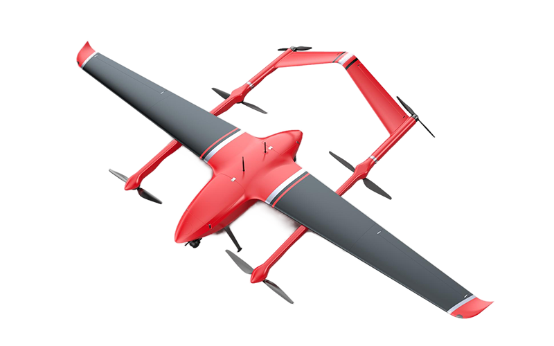 MMC
MMC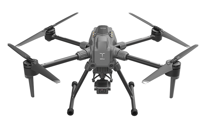 GDU
GDU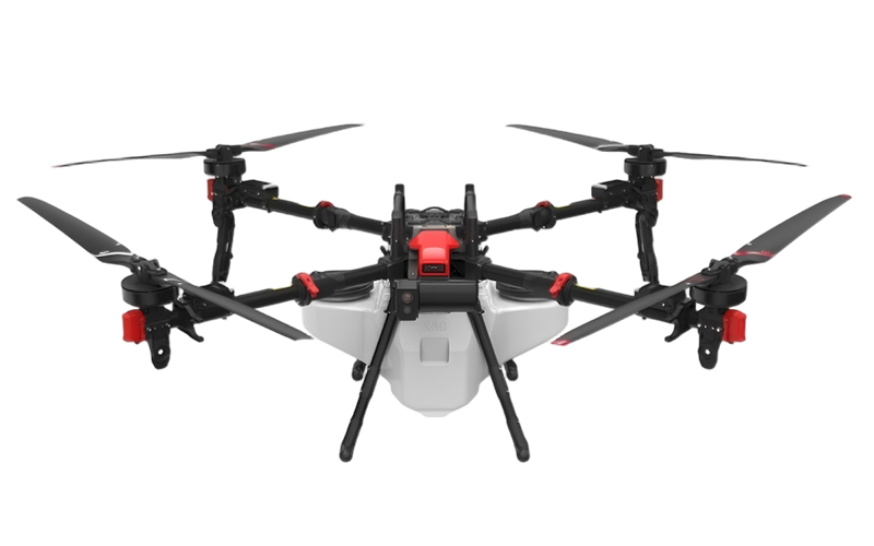 XAG
XAG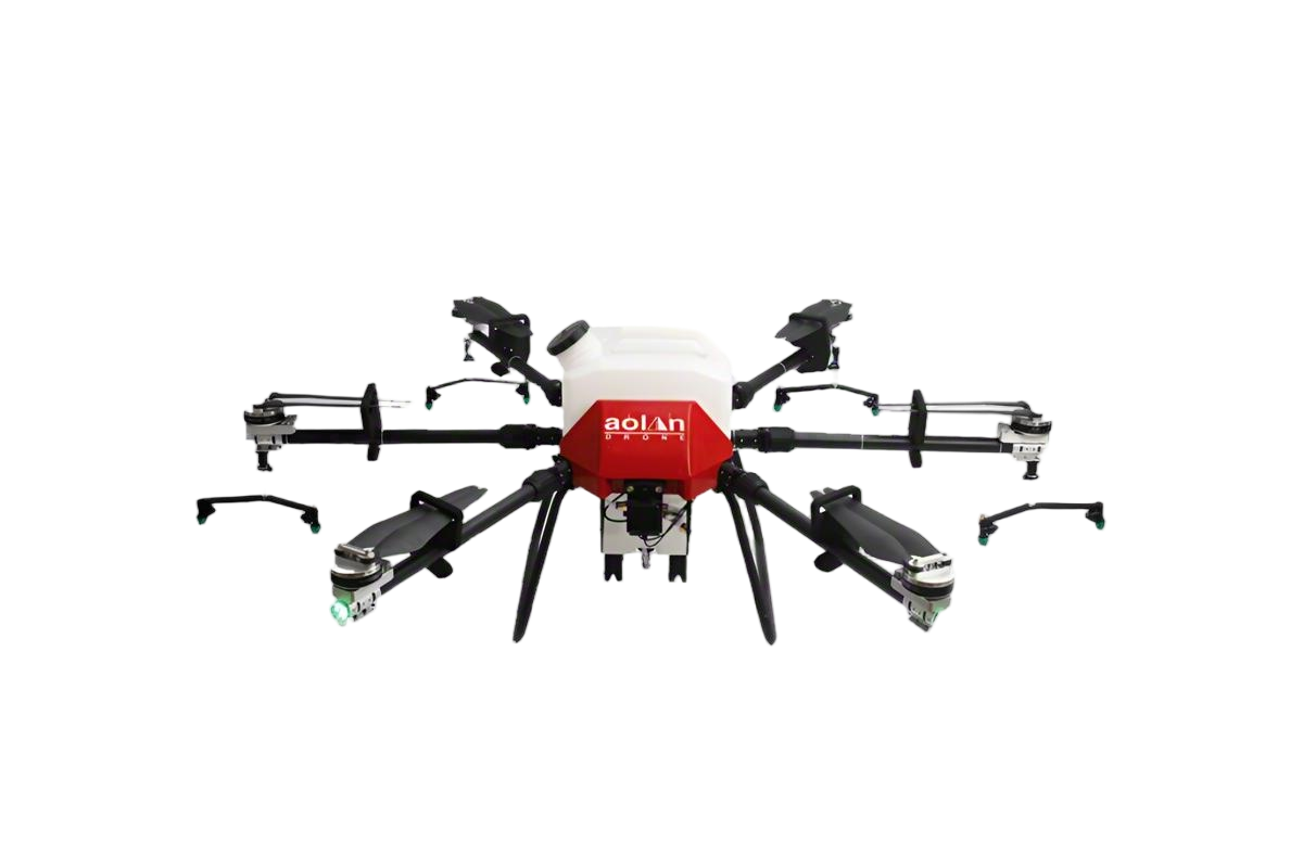 AOLAN
AOLAN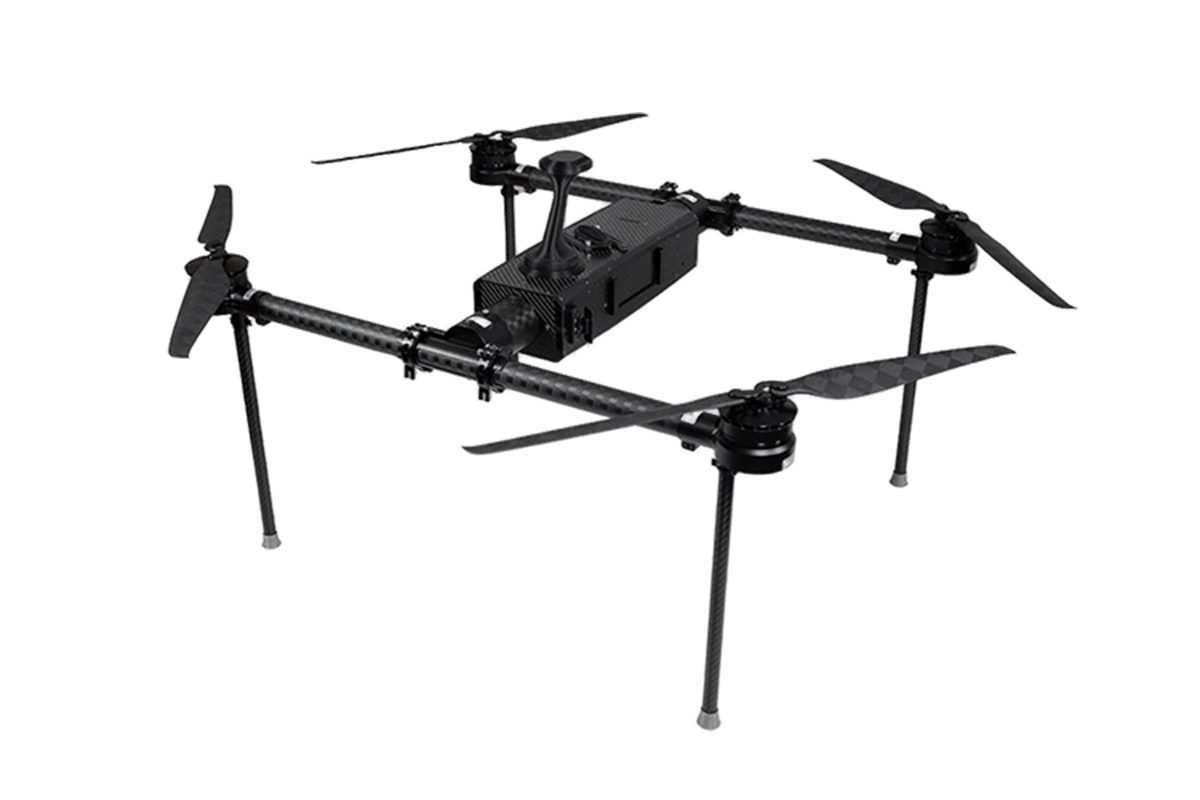 KEEL
KEEL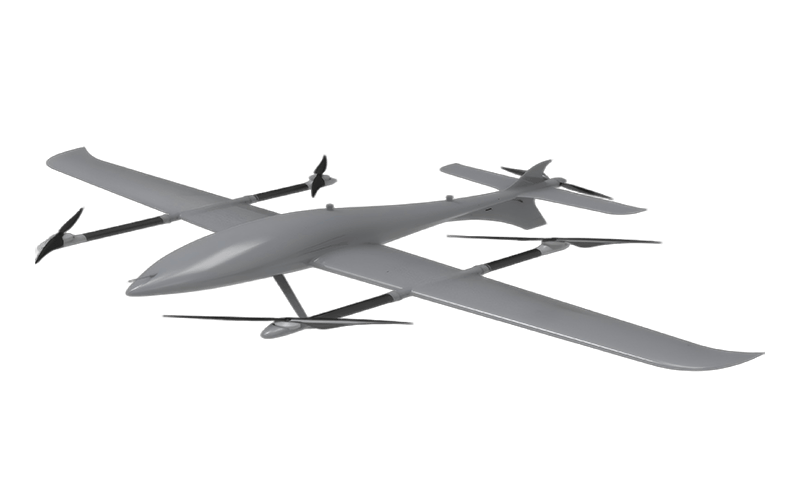 SKY NEXT


